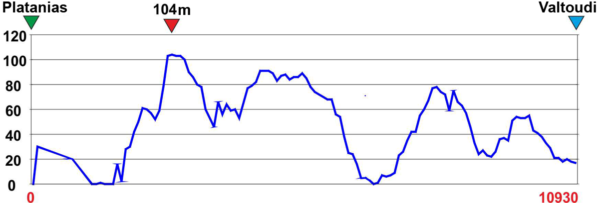
This is the tenth and penultimate part of Long Pelion Trail. It connects the village of Platanias with the foothills of Mt Tisseo, where the very last part begins.
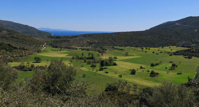
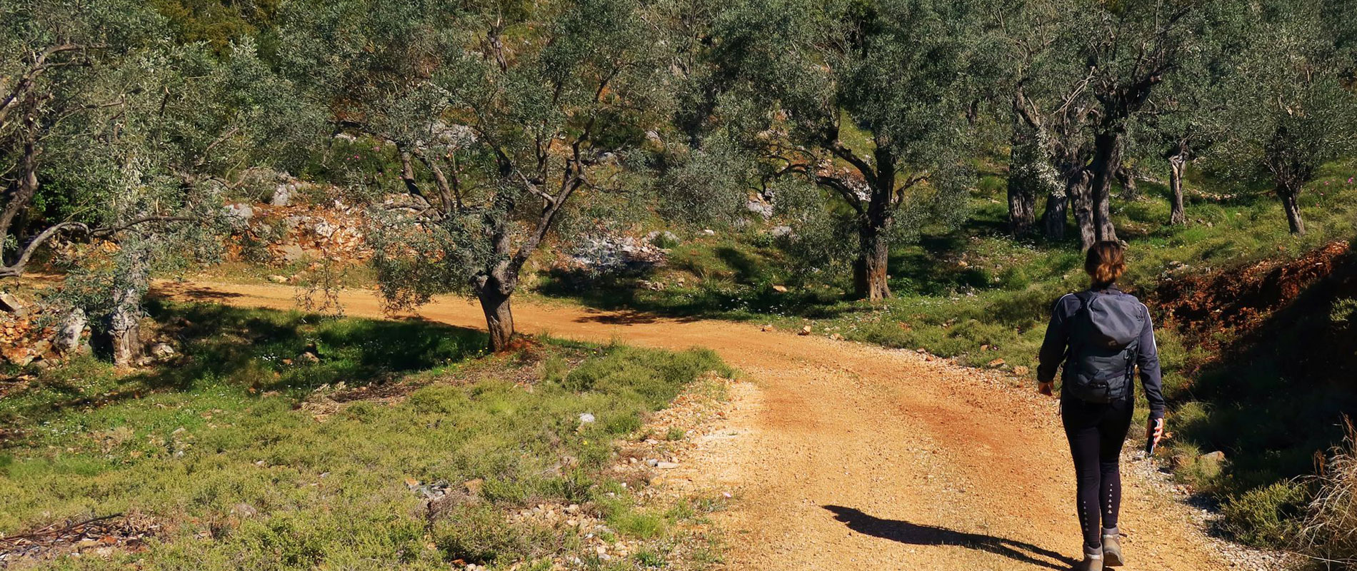
The section cross a sparsely populated area which provides very few facilities even during the busy summer months. Therefore, this hiking route requires the right preparation regarding food and water supplies.
In the past, the connection between Platanias and the remote area of Trikeri used to be accomplished mostly via the sea routes. Long Pelion Trail benefit of the recently built rural roads to ensure this connection.
SETTLEMENTS
Mikro – Chondri Ammos
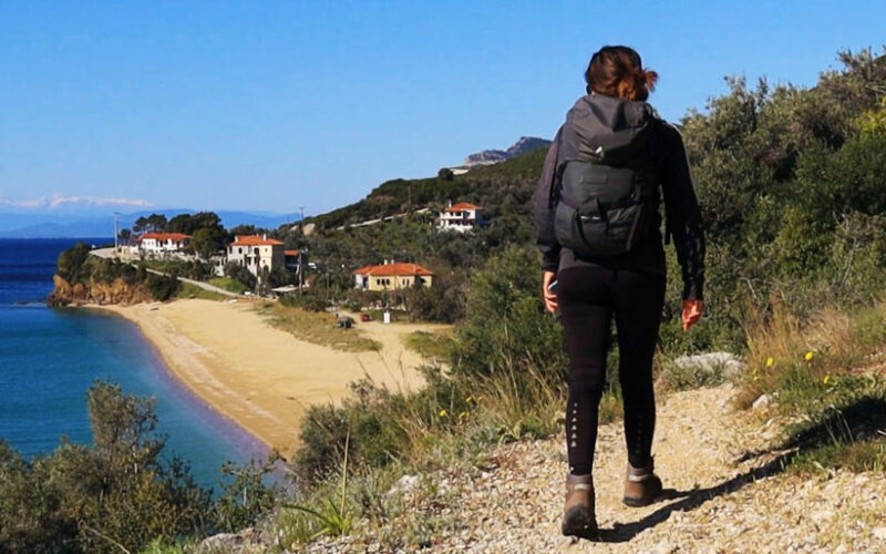
There might be an open open in Mikro and in Chondri Ammos but only during the summer months.
Valtoudi - Koukouleika
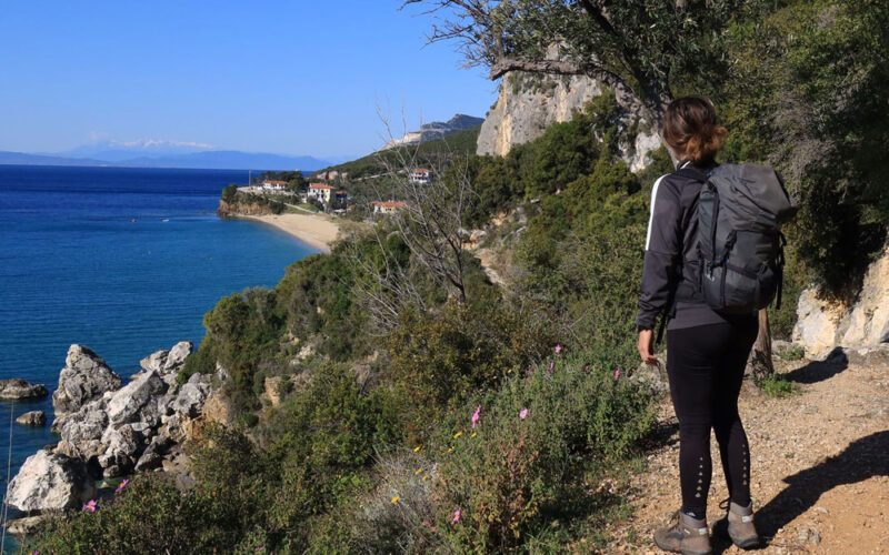
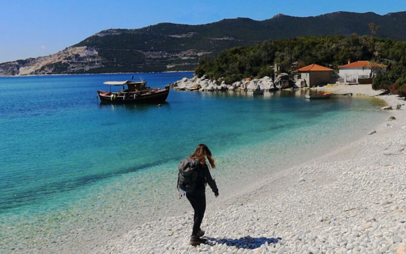
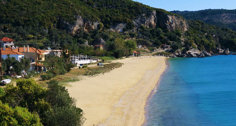
Valtoudi is a shallow bay where a small settlement has been developed. This port is used by some passing fishing boats and pleasure crafts. There are also some tourist facilities at Koukouleika, a very small holiday center with a few houses.
Tips
You might find a few open taverns during the high season at the beach of Mikro and Chondri Ammos. There are rooms for rent at the settlement of Valtoudi.
Warnings
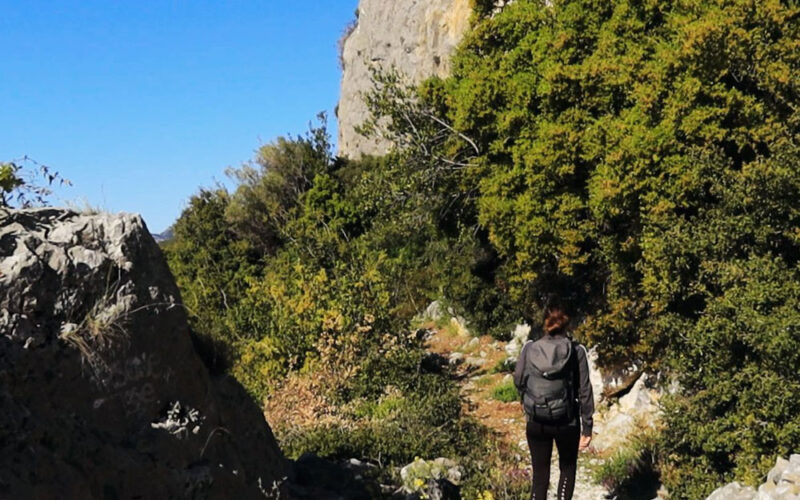
The trail is very exposed to the direct sunlight. Remember to bring along your hat, a sunscreen and at least 1,5lt of water.
