It is believed that the idea organizing long-distance trails began about a century ago in Germany. Although the Old Continent is rather densely populated, large areas of remarkable naturalness have been preserved throughout its area, which are connected to each other by orographic or other natural axes.
These natural corridors are framed by large and quiet rural areas and settlements with great historical, architectural and tourist interest.
European Long-Distance Trails have a variety of characteristics. Some draw their design from the time of the Roman Vias or from the period of Christian pilgrimages and Crusades. Others mark old military roads and passages or connect important economic, political and cultural poles.
The European Trails
The European Hiking Federation has established the institution of the long European Trails, each of which crosses many countries, by charting the optimal route. Twelve European Trails have been designed and are largely operational.
| Route name | Length (km) |
|---|---|
| E1 | 7000 |
| E2 | 4850 |
| E3 | 6950 |
| E4 | 1200 |
| E5 | 2900 |
| E6 | 6300 |
| E7 | 7000 |
| E8 | 4500 |
| E9 | 5500 |
| E10 | 2880 |
| E11 | 2070 |
| E12 | 1800 |
E1 E2 4850kmE3 6950kmE4 1200km | E5 2900kmE6 6300kmE7 7000kmE8 4500km | E9 5500kmE10 2880kmE11 2070kmE12 1800km |
The French Grandes Randonnées
Since 1947, when the French Hiking Federation began organizing and marking the Great Routes known worldwide by the acronym GR (Grandes Randonnées), more than 200,000 kilometers of routes have been marked. The French GRs are systematically walked every year by millions of hikers and employ thousands of volunteers to maintain and improve them. The economy of countless settlements and businesses is based on them, while hundreds of map titles and guides are issued and sold in tens of thousands of copies annually.
| Code | Route name | Length (km) |
|---|---|---|
| GR1 | Tour d'Ile de France | 542 |
| GR2 | Sentier de la Seine | 862 |
| GR3 | Sentier de la Loire | 1301 |
| GR4 | De l'Atlantique à la Méditerranée | 1526 |
| GR5 | Du Luxembourg à la Méditerranée | 1502 |
| GR6 | De la Gironde aux Alpes-de-Haute-Provence | 1371 |
| GR7 | Des Vosges aux Pyrénées | 1464 |
| GR9 | Du Jura à la Méditerranée | 963 |
| GR10 | Traversée des Pyrénées | 908 |
| GR11 | Randonnée autour du Pays d'Ile de France | 651 |
| GR12 | De Gué-d'Hossus (Ardennes) aux Etangs de Commelles (Oise) | 286 |
| GR13 | Du Gâtinais (Seine-et-Marne) au Morvan (Saône-et-Loire) | 463 |
| GR14 | Sentier des Ardennes | 579 |
| GR20 | Traversée de la Corse | 183 |
GR1 Tour d'Ile de France542χλμGR2 Sentier de la Seine862χλμGR3 Sentier de la Loire1301χλμGR4 De l'Atlantique à la MéditerranéeGR5 Du Luxembourg à la Méditerranée1502χλμGR6 De la Gironde aux Alpes-de-Haute-Provence1371χλμ |
GR7 Des Vosges aux Pyrénées1371χλμGR9 Du Jura à la Méditerranée963χλμGR10 Traversée des Pyrénées862χλμGR11 Randonnée autour du Pays d'Ile de France651χλμGR12 De Gué-d'Hossus (Ardennes) aux Etangs de Commelles (Oise)286χλμGR13 Du Gâtinais (Seine-et-Marne) au Morvan (Saône-et-Loire)463χλμ |
GR14 Sentier des Ardennes579χλμGR20 Traversée de la Corse183χλμ |
Long-Distance Trails in Greece
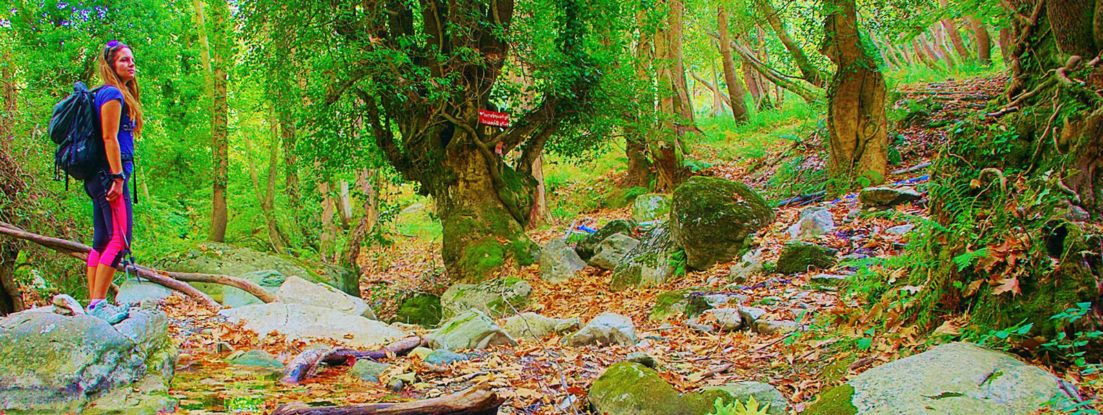
The two largest hiking routes in Greece are the sections of the European Trails E4 and E6 that run the country longitudinally and transversely respectively. Their length is important but not clearly known, as many of their sections have been significantly altered in the last two decades. Both E4 and E6 are poorly marked, while large parts of them are covered by newer road networks.
The National Trails O1, O2, O3, O22, O31, O32 and O33 were in their young days quite remarkable Long-Distance trails. As they were neither redesigned nor ever maintained, over time their value diminished due to the growing number of uncertain passages.{cr}
A common denominator of the routes of the above European and National trails is the lack of waymarking and their moderate coherence in terms of hiking interest.
In recent years, several multi-day hiking trails have been designed and marked in Greece. ERA certification policy stimulated the creation of some quite consistent multi-day hiking trails. These are the Menalon Trail (71 km), the Nestos Rodopi Trail (72 km) and the Andros island Routes network with a distinct circular certified trail of 90 km. Finally, a long route in Corfu, the Corfu Trail, has been organized by volunteers, with an official quite well marked route and many variations, the largest of which is 180 km long.
Long-distance mountain running races could also be considered integral long-distance networks. However, due to the once a year event, a method of not permanent waymarking is chosen. In addition, mountain races are not designed as hiking trails, as they involve large altitude differences, are almost always circular trails without a stopover and are not designed to integrate the natural and cultural elements of the area, but to achieve sporting goals.
Integration of Long Pelion Trail in the international and national hiking context
Long Pelion Trail (LPT) respond to the global trend of creating long hiking trails - crossings such as the Jordan Trail, the GR20 (Crossing of Corsica), the GR10 (Crossing of the Pyrenees) and the major trails certified by the European Ramblers Association.
In Greece, Long Pelion Trail is one of the few long organized routes. also, it is the only route with a length that exceeds 100 km and has a permanent and full marking.
The daily sections of the total route have lengths ranging from 7 to 24 km. One of the most important features of Long Pelion Trail is the possibility that offers the walker to carry out each daily section as an autonomous hike.
Based on the permanent infrastructure and through the promotion framework that has been provided, Long Pelion Trail will contribute to the sustainable development of Magnesia region, adding to the multi-faceted tourist profile of the region several new elements such as:
- Promotion and support of the remote settlements of North and South Pelion.
- Prolongation of the tourist season - most hikers prefer to come to the area in the months before and after the summer, ie periods when the tourist infrastructure of the area is highly available.
- Increasing the employment of locals in the services of escorting visitors and transportation.
- Promotion of small businesses and increase of annual income of the local economy.
- Development and strengthening of the role of agrotourism units and accommodation.
- Raising awareness of visitors and the local population about the protection of natural resources.
- Contribution to the treatment of natural disasters (landslides, fires, floods, etc.) through the maintenance of the network of paths.
- Addition of long-distance hiking as a new tourist product.