Mt Pelion occupies the northern and central part of the Magnesia peninsula and is the end of the easternmost of the mountain ranges of mainland Greece. This large, although highly fragmented, mountain range starts at the northern border of the country and is composed of high mountains, such as Voras (or Kaimaktsalan, 2524 m), Vermio (2065 m), Xirolivado (1806 m), Pieria Mountains (2193 m), Olympus (2918 m), Kissavos (or Ossa, 1978 m) and Mavrovouni (1018 m).
Mt Pelion forms the main branch of the Magnesia peninsula and extends between the Aegean Sea and the Pagasitikos Gulf. The reference to the term "Pelion" covers also the southernmost and most hilly part of the peninsula, which ends with Mount Tisseon at Cape Trikeri.
The mountain of the Centaurs
The whole area of Mt Pelion has relatively gentle slopes: the western slopes, which fall towards the Pagasitikos Gulf, are relatively smooth, while the eastern ones, which sink into the Aegean, are steeper. The settlements in northern and central Pelion occupy the lowland and semi-mountainous zone, while the ridge is not inhabited. On the contrary, southern Pelion is characterized by hilly landscape and the villages, the crop zones and the livestock facilities are mostly found on the higher part of the range of hills. Mt Tisseon, finally, literally rises above the sea and delimits a very abrut shoreline.
Smaller and larger bays and natural coves are shaped on both the west and east coasts. Countless streams with permanent or intermitted flow run through the slopes, shaping steep valleys and some short yet impressive gorges. Therefore, the coastline of the whole peninsula shows a lacy configuration and is dotted with beaches of various physiognomy, more or less accessible to visitors and usually covered by gravel.

Morphology
Most of the Magnisia peninsula does not show a rough terrain. The impermeability of the rocks of the mountain area results in the rapid outflow of water through innumerable ravines.
On the west side, the long process of depositing sediments has formed a relatively smooth coastal zone, ideal for residential development and agriculture. On the contrary, the NW part of Pelion, in the area around Makrinitsa, consists of limestone rocks, susceptible to erosion and fragmentation: here the terrain is rougher and there are meny precipices.
The east face of Mt Pelion has an even more intense geomorphology and is characterized by large slopes and parallel faults of various sizes. Along this side the bushes and the forest extend down to the sea, while the coastline is inaccessible in many places, hiding impressive beaches.
A hiker's heaven
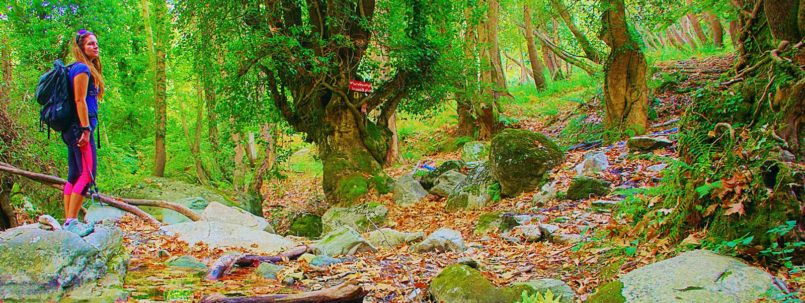
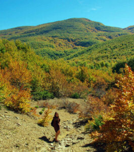
High peaks, extensive forests, crops and meadows, villages and beaches are connected by old and new paths. An extensive network of trails, ranging from well-paved cobbled pathways to lost forest alleys, but also quiet rural roads, run through Mt Pelion in all directions, creating a hiker's heaven of great hiking, natural, historical and sociological value.

